Mitigating Flood Zone Risks Through Elevation Certificates and Coastal Engineering
Quick Summary
- Elevation Certificates help define a home’s flood profile and insurance pricing
- Flood maps guide lender, insurer, and permitting requirements in hazard areas
- Coastal resilience now blends elevation, shoreline protection, and drainage
- Luxury buyers should treat flood documentation as core transaction due diligence
Why flood diligence has become a luxury-market essential
For South Florida’s waterfront buyer, flood exposure is no longer a secondary technical matter left to closing week. It now sits at the center of underwriting, design review, renovation planning, and long-term asset protection. In practice, that means sophisticated purchasers look beyond views, dockage, and finish packages to a property’s flood-zone designation, lowest finished-floor elevation, site drainage strategy, and shoreline condition.
An Elevation Certificate has become one of the most practical documents in that review. It records a building’s location, lowest floor elevation, and other physical characteristics used to assess flood risk for insurance purposes. Even under current rating practices, that elevation data can still support more precise flood-insurance pricing. For an owner or buyer evaluating a waterfront condominium, estate, or redevelopment opportunity, that precision matters.
This is especially relevant across Miami-Dade, Broward, and Palm Beach corridors, where sea-level rise, storm surge, and local water-level conditions influence exposure differently from one site to the next. A bayfront parcel and an oceanfront tower may both be prestigious, but they do not perform identically in flood review.
What an Elevation Certificate actually does
In luxury transactions, paperwork often separates cosmetic certainty from structural certainty. An Elevation Certificate does not guarantee immunity from flooding, but it does establish a verified baseline for how a structure sits relative to expected flood conditions and mapped requirements.
For buyers, that can affect three immediate questions: whether flood insurance is likely required for financing, whether the insurance quote is properly calibrated to the building’s elevation profile, and whether planned improvements may trigger additional floodplain compliance review. If a property lies in a Special Flood Hazard Area and the financing is tied to a federally regulated or insured lender, flood insurance requirements can become mandatory.
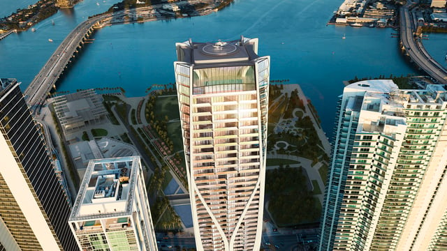
That is why current documentation matters. A stale certificate, or no certificate at all, can slow underwriting and create avoidable friction at the precise moment when high-value transactions demand efficiency. On a trophy residence in a location such as The Perigon Miami Beach or Una Residences Brickell, the conversation is not merely aesthetic. It is also about whether the file is supported by the right technical record.
Flood maps remain the starting point for risk and compliance
Flood maps determine much of the framework that follows. They identify Special Flood Hazard Areas and help local officials, lenders, and insurers apply floodplain rules. For owners, the key point is less cartographic than practical: the mapped zone influences insurance expectations, permitting review, and the compliance path for future work.
That framework is not static. Flood maps can be updated, and a property’s designation can change over time. In the luxury segment, where ownership horizons often include substantial renovation, assemblage, or legacy planning, a map revision can carry consequences well beyond a single policy cycle.
A prudent buyer therefore reviews both current designation and future optionality. If an owner intends to modernize a waterfront residence, expand a lower level, or pursue substantial improvements, local flood-resistance standards may shape what is possible and how it must be designed. This is particularly relevant in counties with active resilience agendas and more rigorous flood-conscious building review.
Why coastal engineering now matters as much as paperwork
Documentation explains risk. Engineering addresses it.
Across South Florida, flood mitigation increasingly relies on multiple layers rather than a single intervention. Elevating structures remains one of the clearest defensive measures, but it is most effective when paired with shoreline stabilization, thoughtful stormwater handling, and site-specific resilience design. That broader approach reflects the reality of coastal flooding: surge, tidal conditions, rainfall, and shoreline behavior interact in ways that vary block by block.
In practical terms, coastal engineering may include harder infrastructure, but nuanced resilience planning increasingly incorporates nature-based measures as well. Living shorelines use materials such as plants, sand, and rock to stabilize edges while preserving habitat. Wetlands and marsh-like systems can reduce wave height and buffer inland areas from storm energy. Mangrove restoration is also part of the regional resilience vocabulary because mangroves contribute to shoreline stability and broader coastal protection.
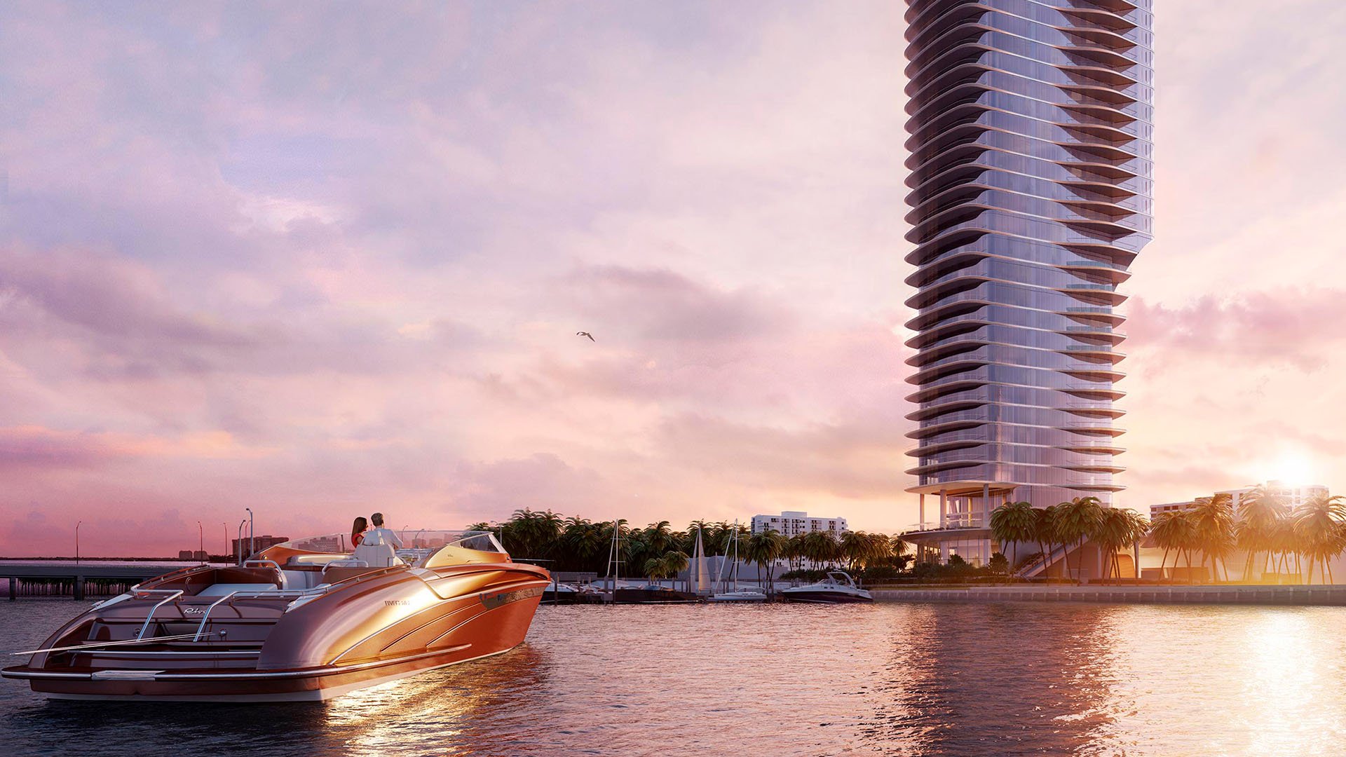
For buyers considering residences near exposed waterfront conditions, that layered mindset is instructive. A refined development in a coastal setting such as Rivage Bal Harbour should be understood not just as architecture on the shoreline, but as architecture in relationship to the shoreline.
County standards are reshaping the ownership equation
Luxury real estate in South Florida increasingly operates within a resilience-first regulatory environment. In Miami-Dade, flood-resistance requirements are woven into development and substantial-improvement review for flood-prone areas, with a clear emphasis on higher-elevation design and reducing future losses. In Broward, resilience and coastal programs focus on flood mitigation, shoreline adaptation, and long-term sea-level-rise planning.
For buyers and owners, this carries a subtle but important implication. Compliance is no longer a back-office exercise. It can influence design timelines, consultant teams, entitlement strategy, and renovation scope. On newer or design-forward projects, this often translates into a more deliberate conversation about podium height, access points, mechanical placement, landscape resilience, and waterfront edge conditions.
That broader regional posture is evident whether one is studying an urban bayfront address like Aria Reserve Miami, a coastal enclave in Broward, or a newer Palm Beach waterfront offering. The market is rewarding not just beauty, but preparedness.
A buyer’s due-diligence checklist for flood-zone properties
At the upper end of the market, flood diligence should be integrated early, not appended late. Buyers should request the current flood-zone designation, ask whether an Elevation Certificate exists and whether it reflects present conditions, confirm the likely insurance path tied to financing, and review whether any prior or future improvements may trigger additional compliance requirements.
They should also look beyond the structure itself. Site grading, drainage behavior, shoreline maintenance, nearby adaptation work, and the condition of waterfront edges all matter. In many cases, the most resilient property is not the one with a single dramatic intervention, but the one with several well-coordinated layers of protection.
For owners of exceptional residences, this is not alarmism. It is stewardship. In South Florida, a sophisticated flood review preserves optionality, supports cleaner insurance conversations, and positions an asset more intelligently for the next transfer.
FAQs
-
What is an Elevation Certificate? It is a document that records a building’s location, lowest floor elevation, and other characteristics used to assess flood risk for insurance and compliance purposes.
-
Does every luxury waterfront property need one? Not always, but it is often highly useful when a property is in or near a mapped flood-risk area or when insurance pricing requires greater precision.
-
Can an Elevation Certificate affect insurance pricing? Yes. Accurate elevation data can help produce a more precise flood-insurance quote.
-
Why do flood maps matter in a purchase? They help determine flood-zone status, which can affect lending, insurance requirements, and local floodplain rules.
-
Can a flood-zone designation change over time? Yes. Flood maps are periodically updated, so a property’s designation and related requirements can change.
-
When is flood insurance mandatory? It can be required when a building is in a Special Flood Hazard Area and the loan is tied to a federally regulated or insured lender.
-
Is elevation alone enough to mitigate flood risk? Usually not. The strongest approach typically combines elevation with shoreline protection, drainage planning, and other resilience measures.
-
What are living shorelines? They are shoreline stabilization approaches that use natural materials such as plants, sand, or rock while maintaining habitat value.
-
Why are mangroves part of resilience planning? They support shoreline stability and help strengthen broader coastal resilience in vulnerable waterfront environments.
-
What should buyers ask for before closing on a flood-zone property? Request current flood-zone information, elevation documentation if available, and clarity on insurance and compliance requirements tied to the property.
To compare the best-fit options with clarity, connect with MILLION Luxury.

Million Luxury
Million Luxury
Welcome to MILLION, an exclusive luxury real estate boutique nestled in the heart of South Florida’s most desirable locations. Specializing in high-end properties, we provide a sanctuary for discerning clients including top Fortune 500 executives, affluent families, celebrities, and professional athletes from across the globe. At MILLION, we understand the unique demands of our elite clientele and offer a seamless blend of confidentiality and personalized attention. Our commitment to privacy is unwavering; we ensure that every transaction and interaction is handled with the utmost discretion and according to stringent confidentiality protocols. Our concierge service embodies the pinnacle of white-glove care, offering tailored assistance that transcends traditional real estate support.