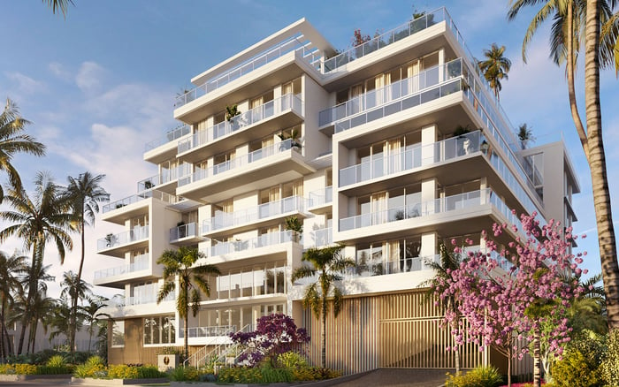
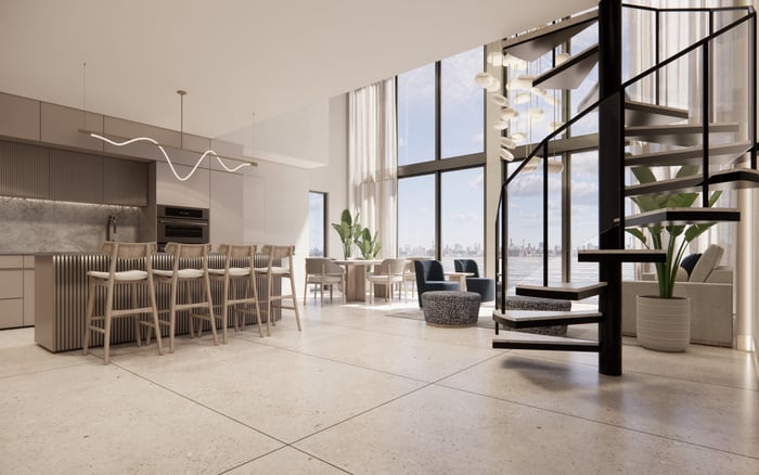
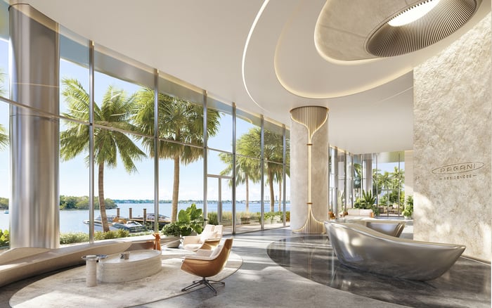
Before closing on a Bay Harbor Islands condominium, examine the parcels behind the panorama. Zoning, unit elevation, pending approvals and documented protections deserve separate scrutiny before assigning lasting value to a view.
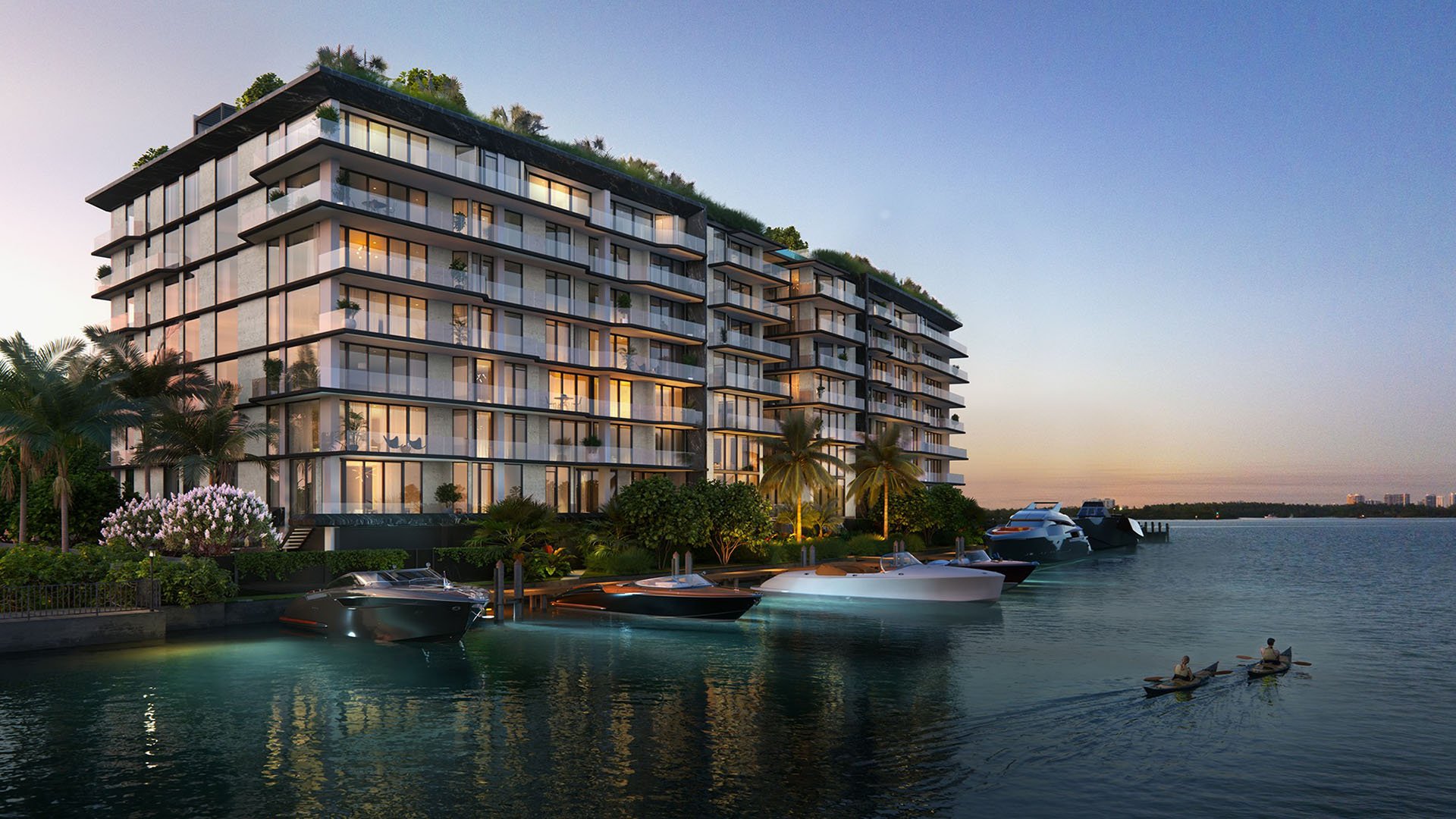
A beautiful view can be the defining pleasure of a Bay Harbor Islands condominium: the expanse beyond the glass, the outlook from a terrace, the sense of distance from neighboring buildings. Before closing, however, distinguish what the residence overlooks today from what surrounding parcels might accommodate tomorrow.
The essential question is not simply whether another building is planned next door. It is which parcels intersect the actual sightline, what development each could permit, and whether anything legally protects the outlook you are paying for.
For a buyer considering Bay Harbor Towers, that inquiry should begin with the individual residence, not a general impression of the neighborhood. Neither a building name nor a waterfront description substitutes for a unit-specific review. The objective is informed confidence, not the elimination of every uncertainty.
Ask your advisers to identify the zoning district, block, lot and, where applicable, tract designation of every parcel within the view corridor from the principal living spaces and terrace. Include land across the water. A parcel capable of changing the outlook need not share a boundary with the condominium.
The town’s zoning geography makes this distinction important. West Island is predominantly single-family RD territory, while East Island contains multifamily districts and the Kane Concourse business district. A general description of Bay Harbor Islands as low-rise does not establish a development limit for a particular site.
Request a marked parcel map showing which properties affect each important sightline. Distinguish existing buildings from potential development envelopes. A low structure shows what stands there now, not necessarily what can replace it.
When comparing a residence at Alana Bay Harbor Islands with another option, apply the same parcel-level review to both. Compare outlooks using equivalent evidence, not photographs taken from different elevations or angles.
RM-1 covers waterfront multifamily sites, while RM-2 covers non-waterfront multifamily sites. RM-3 is more specific: it applies to the large waterfront tracts A-F at East Island’s northern and southern tips, not waterfront property generally.
The historical zoning framework distinguishes RM-1 heights by block and lot:
Block 1: 75 feet.
Block 2, lots 1-13: 65 feet.
Block 2, lots 14-29: 75 feet.
Block 3: 65 feet.
Block 4: 75 feet.
The historical RM-2 framework lists a 65-foot maximum. An inland parcel can therefore have considerable implications for a view, even when its present building appears modest.
Before relying on any figure, obtain confirmation of the current rules, amendments, applicable exceptions and parcel-specific approvals. Ask whether each nearby building is underbuilt relative to its permitted envelope. That question is more useful than whether its owner has publicly announced a redevelopment.
These heights are not a construction forecast. They are dimensions to investigate when testing how much of today’s outlook depends on neighboring land remaining unchanged.
For sightlines crossing an RM-3 tract, begin with the historical 75-foot base maximum. Separately examine the conditional route to heights up to 120 feet through resident and Town Council approval under Charter Section 86. That route is not an automatic by-right entitlement, nor should it be generalized to RM-1 or RM-2 parcels.
The distinction has mattered locally. In November 2018, more than 60% of voters rejected a proposal allowing heights to increase from 75 to 120 feet on six plots. Residents at Island Pointe opposed a taller condominium proposal over potential bay-view obstruction and effects on property values.
That rejection did not permanently protect the skyline. A case-by-case approval route remained part of the framework at the time.
Ask your advisers to distinguish the base-envelope scenario from any conditional-height application and confirm the approval mechanism currently applicable. Neither the taller outcome nor the preservation of today’s skyline should be treated as inevitable.
Before closing, request pending applications, approved-but-unbuilt plans, relevant council decisions and ownership information for parcels affecting the view. Ask for dated answers and a clear account of unresolved questions. Ownership information belongs in the file, but it is not proof of redevelopment intent.
Historical planning analysis provides context, not a current approvals register. Likewise, an earlier completion forecast does not establish that a neighboring project has been delivered or begun closings.
Consider The Well Bay Harbor Islands in its dated context: in February 2025, plans for the development at 1160 Kane Concourse included an eight-story, 66-residence condominium within a residential, office and wellness development. The projected second-quarter 2025 completion was a forecast, not confirmation of present status.
At closing, the question is what is authorized and underway now-and whether those conditions affect your particular residence.
Ask a qualified professional to compare surveyed unit elevation and actual sightlines with neighboring development envelopes. Avoid translating feet into stories with a universal multiplier. A floor designation alone does not establish the relationship between your eye level and a future roofline.
The exercise should address the spaces you will use: the seated living-room outlook, the dining area and the terrace. Ask what remains visible under each relevant scenario, not merely whether some water can still be seen.
For a residence under consideration at Onda Bay Harbor, apply the same standard without presuming either vulnerability or protection. A useful comparison separates today’s outlook, the confirmed base development envelope and any distinct conditional approval scenario. Each should state its assumptions clearly.
The durability of a view premium requires two separate conversations. One concerns physical exposure: how the outlook could change. The other concerns legal protection: whether a recorded instrument or contractual provision protects it. An attractive rendering, a current photograph or a verbal assurance does not answer both questions.
Have counsel examine any claimed view protection and explain its scope. Before signing closing documents, your file should contain the parcel map, current zoning confirmation, approval review, sightline analysis and legal assessment of any claimed guarantee.
There is no defensible universal percentage here for a view premium, its resale durability or the loss from future obstruction. Instead, ask whether the residence remains compelling under the modeled scenarios. Separate what you value in its plan, privacy and daily experience from what depends on the horizon remaining unchanged.
For a considered approach to your next South Florida residence, explore MILLION.
If branded residences are on your mind — as a home or as an allocation — we would be glad to share what we are seeing, privately.
Begin a quiet conversationExamine every parcel intersecting the residence’s actual view corridor, including land across the water. Request its zoning district, block, lot and applicable tract designation.
West Island is predominantly single-family RD territory. East Island contains multifamily districts and the Kane Concourse business district.
RM-1 covers waterfront multifamily sites, while RM-2 covers non-waterfront multifamily sites. Both require parcel-specific review when evaluating possible obstruction.
No; the historical framework lists 65-foot and 75-foot limits depending on block and lot. Confirm the currently applicable rules before relying on either figure.
Yes; the historical RM-2 framework lists a 65-foot maximum, so an inland parcel may affect a sightline even if its existing building is low-rise.
RM-3 applies to the large waterfront tracts A–F at East Island’s northern and southern tips. It is not a designation for waterfront property generally.
No; the historical framework provides a 75-foot base maximum and a separate route to heights up to 120 feet through resident and Town Council approval under Charter Section 86. Confirm the currently applicable approval mechanism before relying on it.
No; more than 60% of voters rejected the proposed increase on six plots, but a case-by-case approval route remained part of the framework at the time.
Request pending applications, approved-but-unbuilt plans, relevant council decisions and parcel ownership information. Pair them with current zoning confirmation, unit-specific sightline analysis and counsel’s review of any claimed view protection.
No universal percentage is established here for a view premium or its durability. Evaluate the residence under relevant obstruction scenarios and distinguish physical exposure from documented legal protection.