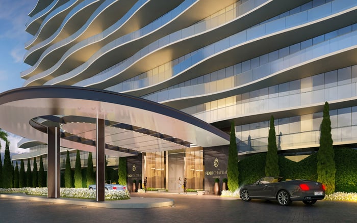
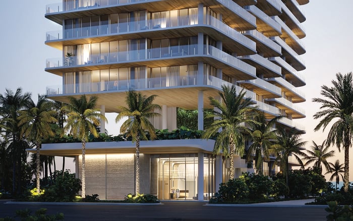
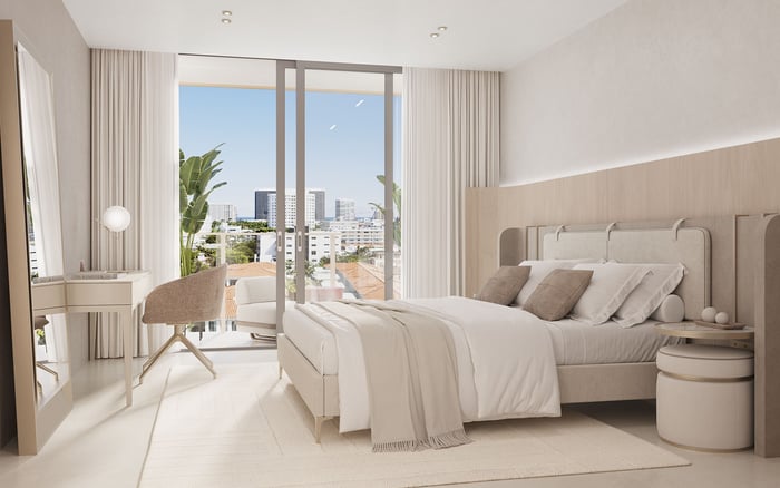
A Surfside view deserves the same scrutiny as the residence itself. This buyer’s guide explains how to examine neighboring parcels, distinguish zoning limits from legal protections, model future obstruction, and evaluate a view premium without assuming today’s outlook is permanent.
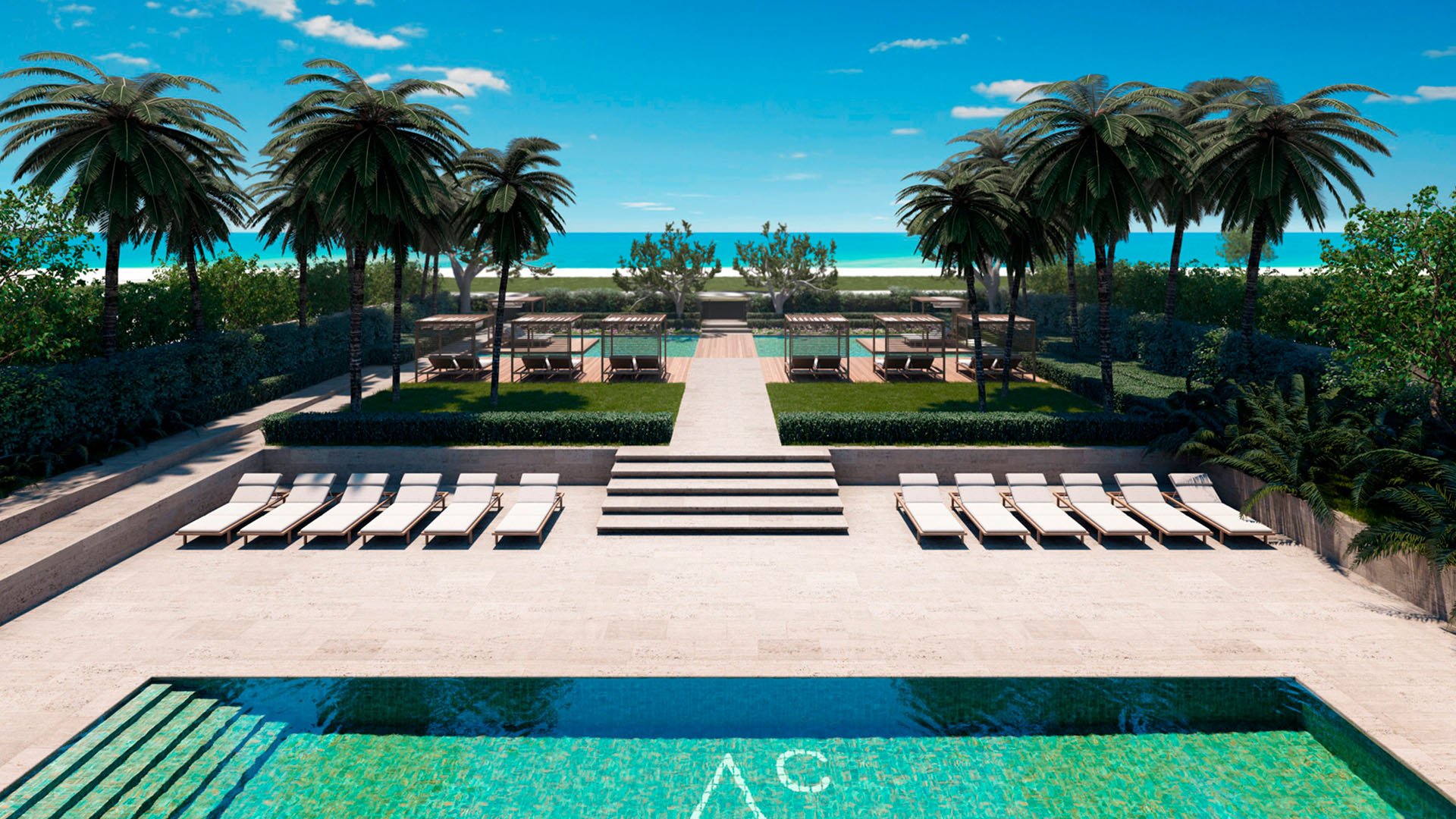
In Surfside, an ocean outlook can be the emotional center of a purchase. Yet the qualities that make it compelling deserve separate examination: a clear horizon, an open diagonal along the coast, the breadth of sky from the living room, or privacy on the terrace. A photograph captures their present condition. It does not establish their durability.
The useful question is not simply whether another building could rise nearby. It is which parcel could alter which part of the view, within what legally supportable envelope, and how much that change would affect your enjoyment and purchase price.
Whether evaluating Arte Surfside or another residence, begin with the unit itself rather than the building’s reputation. Establish the actual window orientation, terrace position, and viewing elevation before assigning value to an apparently open corridor.
Ask your advisory team to identify adjoining parcels and any others that intersect meaningful sightlines. A property need not share a boundary with the condominium to affect an angled view. Conversely, proximity alone does not establish that redevelopment would materially obstruct the outlook you value.
Create a parcel-by-parcel schedule recording the mapped district, existing building footprint, application history, and documents requiring further review. Separate what exists today from what could be permitted. An older or smaller building is not, by itself, evidence of imminent redevelopment.
Surfside’s H30A and H30B are mapped as 30-foot height-restriction districts. A neighboring parcel’s designation is therefore an essential starting point, not a complete obstruction assessment. Confirm the current applicable provisions and any parcel-specific approvals before translating a map label into a three-dimensional conclusion.
For a residence under consideration at Fendi Château Residences Surfside, the same discipline applies: trace the views from the actual rooms, then examine the parcels within those sightlines. The project name alone cannot establish their protection.
A height expressed in feet is incomplete without its measurement baseline. Do not assume that “120 feet” means 120 feet above the sand, neighboring grade, or your own floor.
For Surfside’s beachfront parcels, the Charter ballot language specifies a limit of +136.63 NAVD, described as 120 feet above a first-floor elevation of +16.63 NAVD. It also specifies at least 60% voter approval to amend or repeal Section 4’s beachfront lot-area and height provisions. Ballot language alone does not prove enactment; counsel should confirm the operative Charter text before treating either provision as controlling.
Historical zoning discussions illustrate why precision matters. In February 2021, a district was described as having a 120-foot maximum building height; in January 2022, discussion addressed measurement from the crown of the abutting road. Neither establishes today’s entitlement for a particular parcel.
Florida DEP-approved starting elevations above +18.2 NGVD also figure in the beachfront-height discussion. NAVD and NGVD references are not interchangeable. Have the surveyor and architect reconcile vertical datums, first-floor requirements, and the applicable height rule before comparing a potential roof elevation with your sightline.
Height is only one dimension of obstruction. Setbacks, footprint, and massing determine where a potential building could occupy the view. Adopted residential design guidelines address setbacks and building-massing controls, but their application still requires parcel-specific review.
The beachfront lot-area ballot language uses platted lot lines and identifies the Bulkhead Line, not the Erosion Control Line, as the eastern boundary. Resolve this distinction through survey and legal review, not an informal estimate of the apparent extent of beachfront land.
Commission an architect to prepare three clearly labeled views:
The existing condition, using verified geometry and actual viewing positions.
A proposal-specific scenario where sufficiently detailed plans are available, with approval status identified.
A conservative full-build-out scenario based on confirmed applicable controls and stated assumptions.
The last is a stress test, not a forecast. It should not imply that every underused parcel will redevelop or that an illustrated volume has approval. For a purchase at Ocean House Surfside, as elsewhere, request perspectives from both seated interior positions and the terrace rather than relying on an aerial rendering.
Historical planning and zoning minutes are available from 2010 through June 2024. Use that history to identify neighboring proposals and questions requiring follow-up, then obtain the latest application, approval, and permit records. A workshop discussion, a submitted design, an approval, and a completed structure represent distinct stages.
Redevelopment examples make this exercise concrete. As described in January 2025, Seaway North at The Surf Club, at 9165 Collins Avenue, was an 11-story, nine-residence oceanfront project beside the Four Seasons Surf Club, on the former Hillcrest by the Sea site. Completion was then targeted for early 2026; that target does not confirm delivery.
Buyers considering The Surf Club Four Seasons Surfside should distinguish historical project descriptions from current neighboring conditions. This example does not establish obstruction for any particular residence.
The review should also extend beyond beachfront land. Kushner broke ground in mid-May 2025 on a three-story, 68-unit non-waterfront project at 9300 Collins Avenue. Its expected completion at the end of 2026 was a construction target, not a verified current status.
A setback or height restriction is not a recorded view easement. If a seller describes a view as protected, ask counsel to identify the document creating that protection, the land it burdens, and its scope and enforceability.
Keep physical resilience separate from legal protection. A modeled sightline might survive the tested envelope without being legally guaranteed. Conversely, a claimed restriction requires document review before it can support a purchase decision. The objective is a written understanding of what is established, what is assumed, and what remains exposed to change.
There is no supported universal percentage here for a Surfside view premium or an obstruction discount. Instead, ask an appraiser to evaluate relevant comparable sales, distinguishing view differences from floor level, condition, layout, and other attributes.
Then revisit your willingness to pay under each modeled scenario. Would losing a diagonal coastline view change the purchase decision if the central horizon remained open? Would closer neighboring massing compromise the terrace experience even without removing the ocean view? Answer those questions before finalizing the price.
A durable premium is easier to defend when the valued outlook survives a documented stress test-not when it rests on the assumption that neighboring land will remain unchanged.
For a considered approach to your Surfside purchase, connect with MILLION.
If branded residences are on your mind — as a home or as an allocation — we would be glad to share what we are seeing, privately.
Begin a quiet conversationReview adjoining parcels and any other properties intersecting important sightlines. A parcel does not have to share a boundary with the condominium to affect an angled view.
The map identifies them as 30-foot height-restriction districts. Confirm the current applicable provisions and parcel-specific approvals before using that designation to model obstruction.
The ballot language alone does not prove enactment. Counsel should confirm the operative Charter text before relying on its height provisions or 60% voter-approval requirement.
The measurement baseline determines what that number means in physical space. Road elevation, first-floor elevation, vertical datum, and the applicable height rule must be reconciled before comparing a roof with a sightline.
The language identifies the Bulkhead Line, not the Erosion Control Line, as the eastern boundary and uses platted lot lines. Its operative legal status and parcel application require review.
Model existing conditions, sufficiently documented proposals, and a conservative full-build-out scenario using confirmed controls. Show the results from actual interior and terrace viewing positions.
No. It is a conservative obstruction test, not evidence that a parcel will redevelop or that the modeled volume has approval.
They are not recorded view easements. Any claimed legal protection needs separate document review addressing its scope, enforceability, and the land it burdens.
No. Seaway North’s early-2026 target and 9300 Collins Avenue’s end-of-2026 target do not establish current completion status; obtain updated records and verify conditions.
There is no supported universal percentage for a Surfside obstruction discount. Use relevant comparable sales, unit-specific modeling, and your willingness to pay under each scenario.