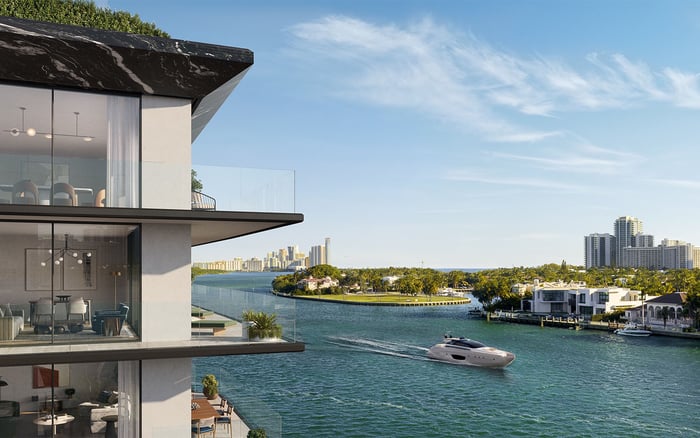
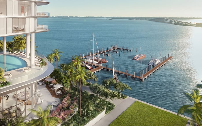
A bathymetric survey turns advertised yacht access into measurable underwater conditions. For South Florida buyers, its value lies in testing vessel compatibility while keeping depth, docking rights, structural condition, and permitting distinct.
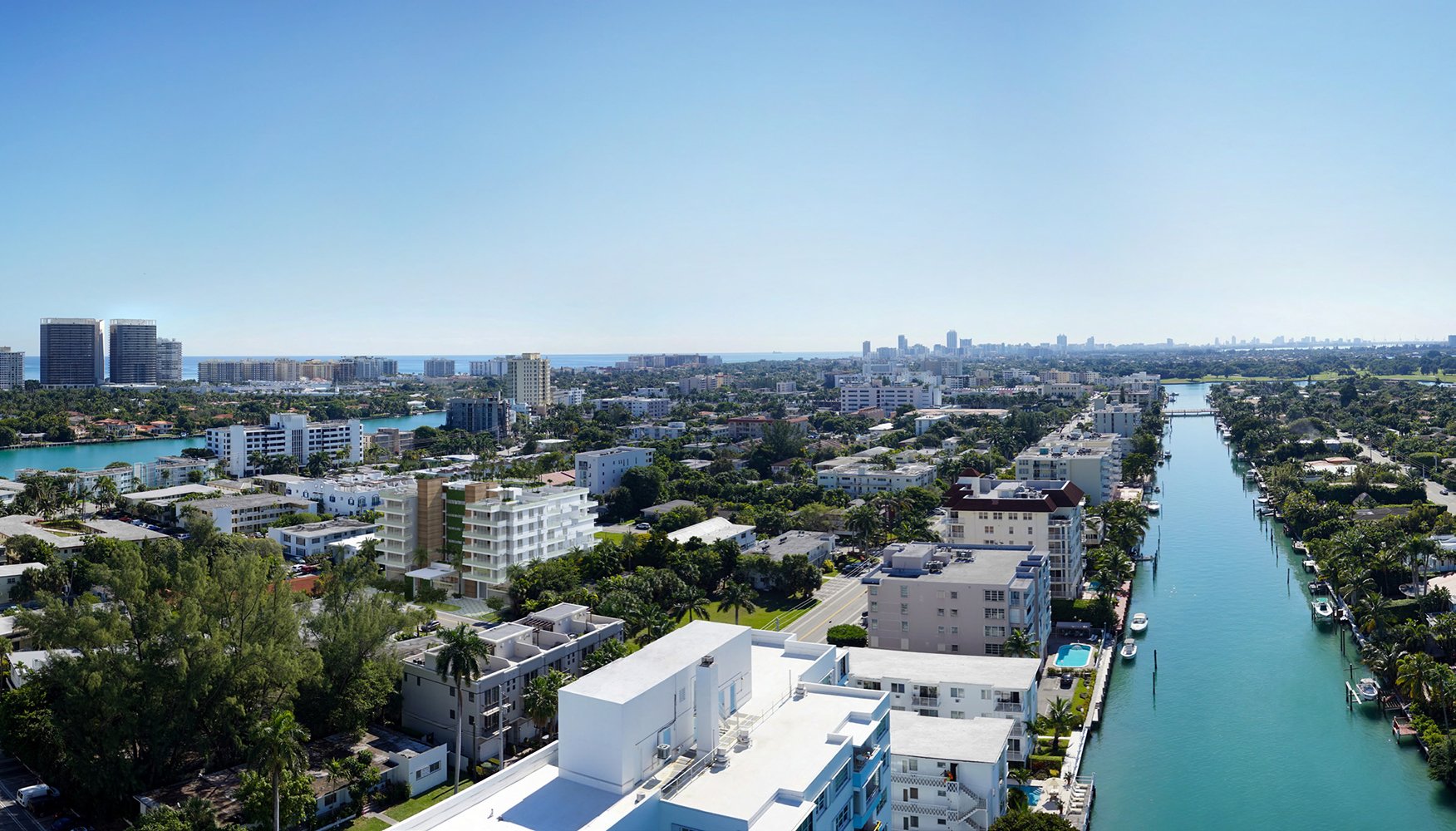
Waterfront real estate invites an immediate visual judgment: the terrace, the dock, the yacht positioned beyond the garden. Yet a buyer's most consequential boating question lies below the surface. Can the intended vessel reach, maneuver within, and use the berth under the conditions that matter to its owner?
A bathymetric survey maps underwater topography, replacing an advertised description of boating access with measured bottom contours. It does not endorse a property or certify every aspect of yacht use. It supplies physical evidence to assess alongside the vessel, the property's legal rights, and the condition of its marine improvements.
For a luxury acquisition, that distinction is essential. A handsome dock and a persuasive waterfront presentation cannot substitute for a measured understanding of what lies beneath the yacht.
The survey scope should follow the intended boating experience. Measuring only beside the dock leaves questions about canal frontage, the turning area, bends, and the relevant approach unanswered. Ask the survey professional to define the coverage needed to evaluate those spaces, including any portions beyond the immediate frontage.
A useful brief starts with the intended vessel and its route to the property. It should identify where the yacht will lie, how it will turn, and which parts of the approach require investigation. Any unmeasured segment should remain an explicit limitation-not an assumed continuation of favorable conditions.
For buyers comparing Onda Bay Harbor with Bay Harbor Towers, the same discipline applies to any associated boating proposition: evaluate the actual berth and route being offered. A residential project's identity does not establish vessel compatibility or a buyer's right to a particular slip.
A depth measurement needs a reference. The datum is the vertical reference against which elevations are expressed; without it, a number can be misunderstood.
For acquisition diligence, request a dated survey document showing soundings, contours, the datum, water-level conditions, accuracy, and limitations. Ask the survey professional to explain how measurements were collected and how to interpret the stated depths. Do not assume documents using different references are directly comparable.
Then assess those measurements against the intended yacht's loaded draft, tidal variation, and an appropriate under-keel safety margin. That margin should be assessed with the vessel's captain or a qualified marine adviser, not selected from a generic property checklist. The question is not merely whether water is present, but whether the measured conditions suit the intended operation.
Bottom contours are valuable, but they are not a universal inventory of submerged hazards. Ask whether the equipment and survey coverage can identify the obstructions relevant to the proposed use. Depth soundings should not be treated as proof that every potential hazard has been detected.
Keep bridge and overhead clearances in a separate review. Likewise, commission appropriate assessments of the dock and seawall rather than expecting bathymetry to establish their structural condition. Depth, overhead clearance, and the integrity of marine structures answer different questions.
For a Coconut Grove buyer considering Vita at Grove Isle, any proposed boating arrangement deserves its own document review. Keep the residential purchase, any berth allocation, and the vessel-specific assessment distinct until the evidence connects them.
Measured depth does not establish ownership of submerged land, permission to occupy it, or authority to dredge. These are separate legal and regulatory inquiries, even when physical conditions appear favorable.
Ask legal and permitting advisers to review relevant ownership or lease interests, riparian rights, property boundaries, and records for existing marine improvements. A depth survey should not substitute for title or permit review.
When evaluating The Ritz-Carlton Residences® Miami Beach, or another Miami Beach residence, verify any offered boating rights independently. Neither a residential purchase nor favorable soundings establish a specific docking entitlement.
A bathymetric survey can inform the evaluation of potential dredging, but it is not proof that proposed work will be approved.
If the purchase depends on creating more depth, treat that dependency as unresolved until the relevant specialists have assessed it. Ask which permits, environmental reviews, and engineering studies would apply to the proposed work. Do not assume requirements for a Miami-Dade property govern Fort Lauderdale or every other South Florida jurisdiction; confirm the rules for the property's location.
A survey should carry a clear date, but buyers should not assume a universal residential expiration period. Ask the survey professional whether the existing document remains suitable for the acquisition and ask the permitting adviser about any survey-age requirements for contemplated work.
Its coverage, limitations, and relevance to the intended yacht matter alongside its age. If the document leaves material questions unanswered, discuss whether additional measurements are needed before relying on it.
The strongest diligence file keeps four questions separate: Is the underwater geometry suitable? Can the yacht operate with an appropriate margin? Are the required property and docking rights established? Are existing structures and any proposed work acceptable?
A bathymetric survey directly informs the first question and helps frame the second. Its greatest value is clarity: it allows the buyer to distinguish measured suitability from assumptions before committing to a yacht-centered lifestyle.
For a considered approach to South Florida waterfront ownership, explore MILLION.
If branded residences are on your mind — as a home or as an allocation — we would be glad to share what we are seeing, privately.
Begin a quiet conversationIt maps underwater topography through measured depths and bottom contours. This provides physical evidence beyond a property's advertised boating access.
Ask the survey professional to define coverage for the berth, canal frontage, turning area, bends, and relevant approach. Unmeasured portions should remain explicit limitations.
The datum identifies the vertical reference used to express elevations. Depths using different references should not be assumed directly comparable.
Review measured depths against the yacht's loaded draft, tidal variation, and an appropriate under-keel safety margin. A captain or qualified marine adviser should help assess the intended operation.
Do not assume they will. Ask whether the equipment and coverage can detect hazards relevant to the proposed use.
No. Ownership, lease interests, riparian rights, and any specific berth entitlement require separate verification.
No. Dock and seawall condition require separate assessments, as do bridge and overhead clearances.
No. A survey documents underwater conditions but does not establish permission to dredge; ask specialists which approvals and studies would apply.
Do not assume the same requirements apply in every jurisdiction. Confirm the permitting requirements for the property's specific location and proposed work.
Ask the survey professional whether its age, coverage, and limitations remain suitable for the acquisition. Confirm any survey-age requirements for proposed work with a permitting adviser.